
How to use CLiVE, with Dr Martina Pardy

Thursday 15 October 2026 | 15:00 – 16.00 | Online | Free
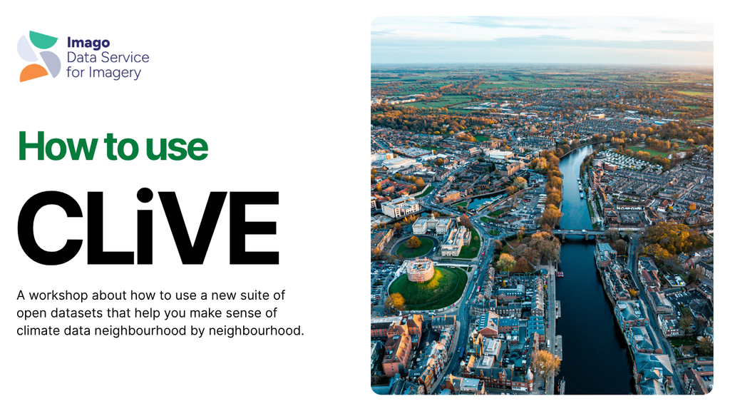
Climate change affects everyone, but some people and places feel it more than others. Making sense of climate data at neighbourhood level usually needs specialist skills and software that most social scientists, health researchers and policymakers don’t have.
CLiVE (Climate Local Vulnerability and Exposure) is a suite of open datasets from Imago, SDR UK’s data service for imagery. Each dataset covers a different aspect of environmental risk, drawn from satellite imagery and turned into ready-to-use indicators. They’re mapped to standard UK geographies, so you can see the risks neighbourhood by neighbourhood across the UK.
In this webinar, Dr Martina Pardy (PDRA, Imago) introduces CLiVE (Climate Local Vulnerability and Exposure). She will demonstrate how CLiVE bridges the gap between Earth observation and quantitative social science by transforming spatial rasters into pre-aggregated, standard UK statistical boundaries.
Through practical examples and a live platform demonstration, attendees will see how easily CLiVE metrics can be accessed and joined directly to existing administrative datasets (such as the Index of Multiple Deprivation), enabling researchers to study climate inequalities without ever needing to write raster processing scripts or touch specialised GIS software.
Learning Outcomes
By the end of this webinar, attendees will:
Identify Empirical Applications: Gain concrete ideas for integrating environmental hazard metrics into their own econometric, public health, housing, and social policy projects
Understand CLiVE’s Data Architecture: Know how complex Earth Observation rasters are translated into pre-aggregated tabular indicators structured around the IPCC risk framework
Navigate the Imago Data Catalogue: Know how to find, filter, and download the exact indicators, geographies, and time slices (2015–2024) needed for their specific research questions
Master Administrative Data Linkage: Understand the workflow for joining CLiVE tabular outputs to standard UK statistical geographies
Event Details
- Topic: How to Use CLiVE: Unlocking Neighbourhood-Level Climate Vulnerability and Hazard Data for Social and Health Research
- Host: Dr Martina Pardy, Postdoctoral Research Associate (PDRA), Imago (Data Service for Imagery)
- Date: Thursday 15 October 2026
- Time: 15:00 – 16:00
- Format: Online
How to Join
This session is entirely free, but registration is required to secure your digital joining link.
👉 [Click Here to register via Eventbrite]
